ir a principal | Ir a lateral

ArcDex [GIS2.0]

information, techniques, and news regarding sharing geospatial data across multiple platforms.

Main Menu

  • Inicio
  • Blog

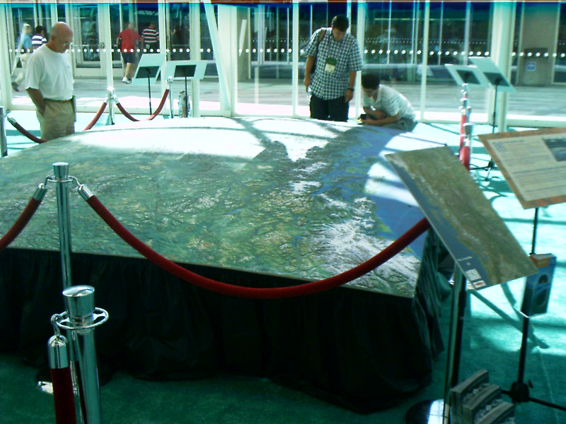
Wednesday, August 09, 2006

2006 UC Photos....

This photo is of the 1/4 scale elevation map of British Columbia. Glenn over at AnyGeo has a good write up about it. Seeing the natural curvature of the earth on this display makes it a must!

Posted by Ken H. at 2:56 PM    

0 comments:

Post a Comment

Newer Post Older Post Home
Subscribe to: Post Comments (Atom)
Buscar

GIS Links

  • James Fee GIS Blog
  • Ed Parsons
  • Geospatial Python Programming

Archives

  • ► 2008 (10)
    • ► April (4)
    • ► March (5)
    • ► January (1)
  • ▼ 2006 (51)
    • ► November (1)
    • ► October (7)
    • ► September (5)
    • ▼ August (7)
      • Trimble GeoXT NoteWell today I dusted off my trust...
      • Unimpressive Blog Article in ArcUserAfter geospati...
      • ESRI Tools At Different License LevelsOne thing th...
      • Where 2.0 Conference Presentation FilesThe present...
      • It's a Wrap - 2006 UCWell the curtains have come d...
      • 2006 UC Photos....This photo is of the 1/4 scale ...
      • Animation Tools in ArcGIS 9.2Live from the UC conf...
    • ► July (12)
    • ► June (1)
    • ► May (2)
    • ► April (9)
    • ► March (7)

TuBlog.blogspot.com | Diseño de Free CSS Template | Adaptación a Blogger por Blog and Web